It took a while for Google to cover Kaua’i with high-resolution, cloud-free aerial images, and so we were still waiting for their Street View, the nifty tool that lets you see a photo of any address. I saw their car driving around last fall, but the camera was covered up. In the meantime, it seems they were busy and recently the images went live:
View Larger Map
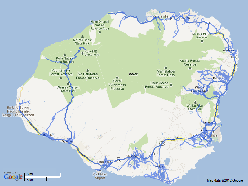
They seem to have covered the whole island, I only saw a few very minor side streets that they missed. They didn’t do any dirt roads (Polihale, Maha’ulepu, etc.) but they did all paved roads, inlcuding the Makaha Ridge road. Also, Princeville is not included probably because it’s all private, though I wonder whether it was Google or Princeville Corp. that declined the coverage. Here’s the coverage map:

I did see a few interesting things:
- Streetview includes the walkways at some resorts, such as Islander on the Beach in Wailua (I suppose rental owners will like this):
- It has some golf courses such as Kiahuna and here the new one at Kukui’ula above Lawai Bay:
- Those paths are ostensibly private, but they did get the Kapa’a bike path, at least to Kealia beach:
I think they used the newly announced Trekker, a backpack-mounted camera rig, to walk those paths and record their images. That would explain the odd stare that people have on the bike path. I wonder if I should volunteer to hike the trails with their backpack. Do we really want the outdoors to become a virtual experience?