The cool thing about this one is that I made it. Rather, I used freely available software and data from the State of Hawaii, and then I tinkered with the settings.
What’s even more interesting is that I figured out how to customize the map by importing locations from my GPS. So this map shows the exact location of the swimming hole pictured earlier.
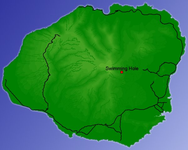
I must admit that I cheated and used a photo editor to create the ocean. The map had a solid background, and I thought the island looked better with an outline “halo” and gradient ocean shading. The land portion, however, is exactly the output of the map utility.