There was a lot of Weather and Food posts last week, so I needed to get out and go hiking over the weekend. I led a Sierra Club hike on the Powerline trail, from the Arboratum at the southern end up to the crest and back. It’s 9.2 miles (15 km) round-trip with 1500 feet (500 meters) of elevation gain.
The view from the crest is one of the most expansive on the island. You can see from Kapaa to Lihue and south to where the tree tunnel is at the Knudsen Gap. Looking north, you can see Princeville and the mountains that hide Hanalei. Straight east are the Makaleha mountains seen in the following picture:
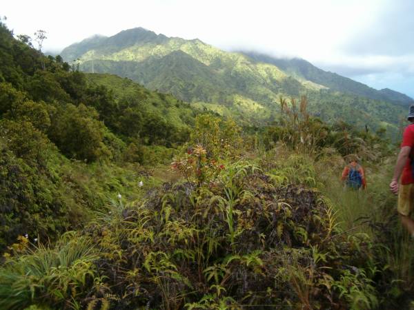
The picture also shows some white orchids that grow wild up there, along with other more native plants.
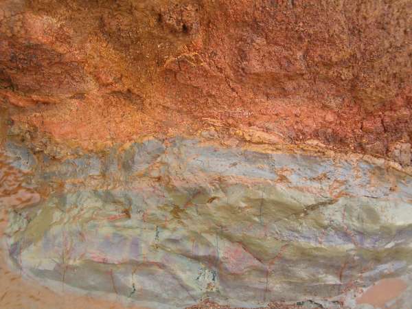
The trail is an old dirt road built to install and service the powerline in the early 1900’s and there are only a few steep spots. You can see one of modern pylons in the picture above. However, there is a fair amount of erosion due to poor drainage, and the clay underneath can get slippery. It is also very colorful:
As you can see, the weather was still a bit unsettled from the storm. We got a few showers, but we were fortunate to stay mostly dry. One advantage to the rain is that there were many more waterfalls on the mountains, but not close enough to get a good picture with my camera.